Construction & Building

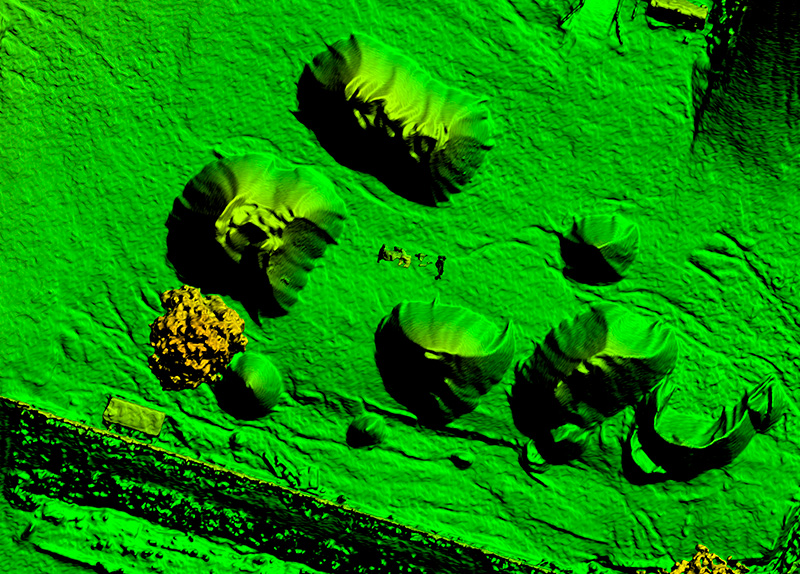
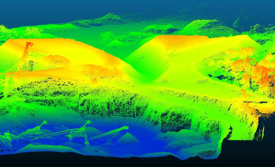
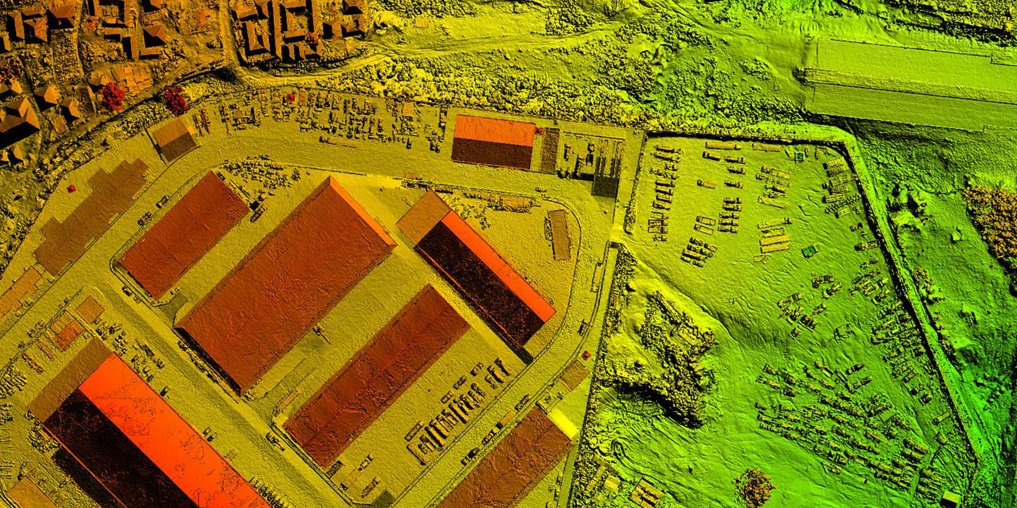
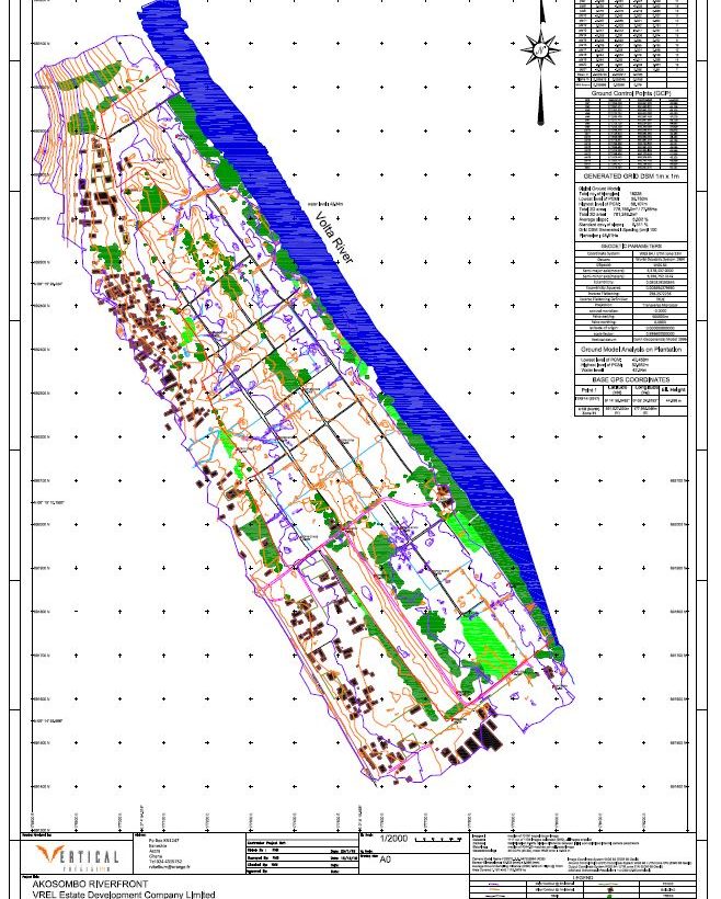
Improve the management and the ROI of your next construction project Keeping track of complex construction projects with many moving parts isn’t easy. Drones allow project managers to regularly map and model their jobsite, work more efficiently and communicate easier. Detailed, high-resolution drone images allow you to measure and analyse almost anything on the site [...]
Read more

Mining

Drones coupled with big data and photogrammetry software provides a more cost-effective and accurate method of determining the volume of materials. Aerial surveying uses drones to capture geo-tagged imagery of your entire site. These high-resolution images are uploaded into photogrammetry software to generate a high-resolution orthomosaic map, point cloud and 3D model. This provides greater [...]
Read more

LiDAR

LiDAR (Light Detection and Ranging) has the unique advantage of being able to penetrate through dense vegetation unlike aerial photogrammetry. This allows for a more accurate Digital Terrain Models (DTM) for areas covered fully or partially by trees or vegetation. Without LiDAR, ground level readings are near impossible. LiDAR is ideal for the regular inspection [...]
Read more