Mine et Carrière
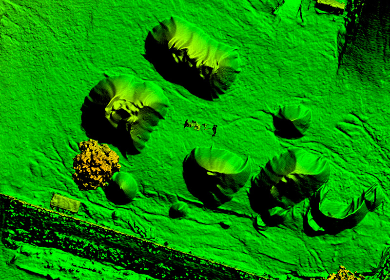
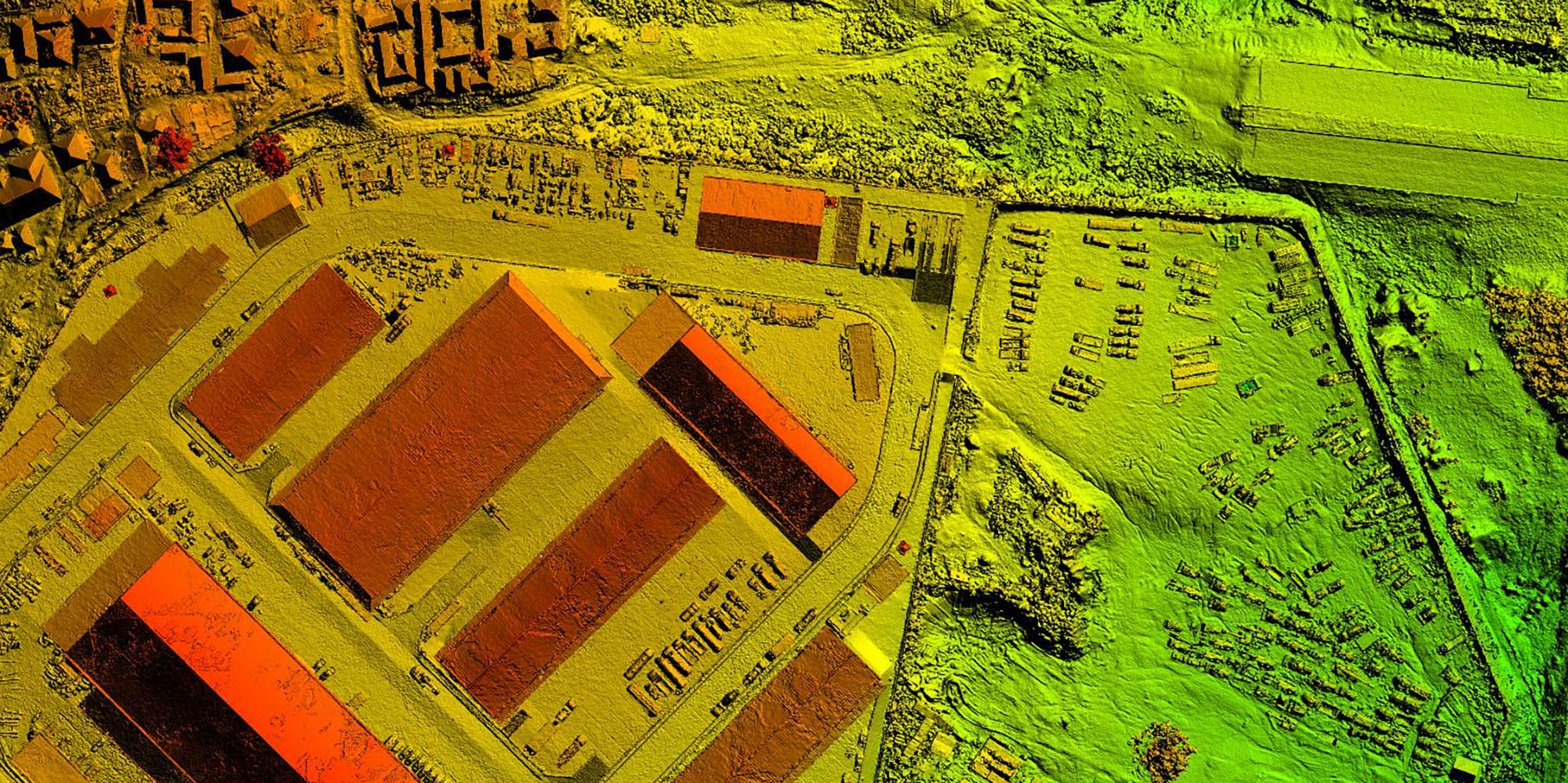
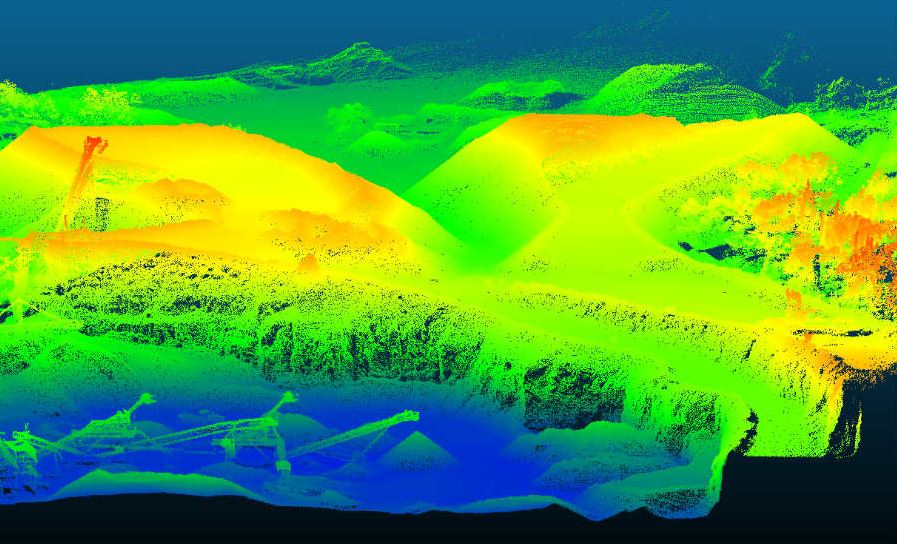
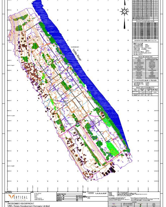
Drones coupled with big data and photogrammetry software provides a more cost-effective and accurate method of determining the volume of materials. Aerial surveying uses drones to capture geo-tagged imagery of your entire site. These high-resolution images are uploaded into photogrammetry software to generate a high-resolution orthomosaic map, point cloud and 3D model. This provides greater [...]
Read more


