
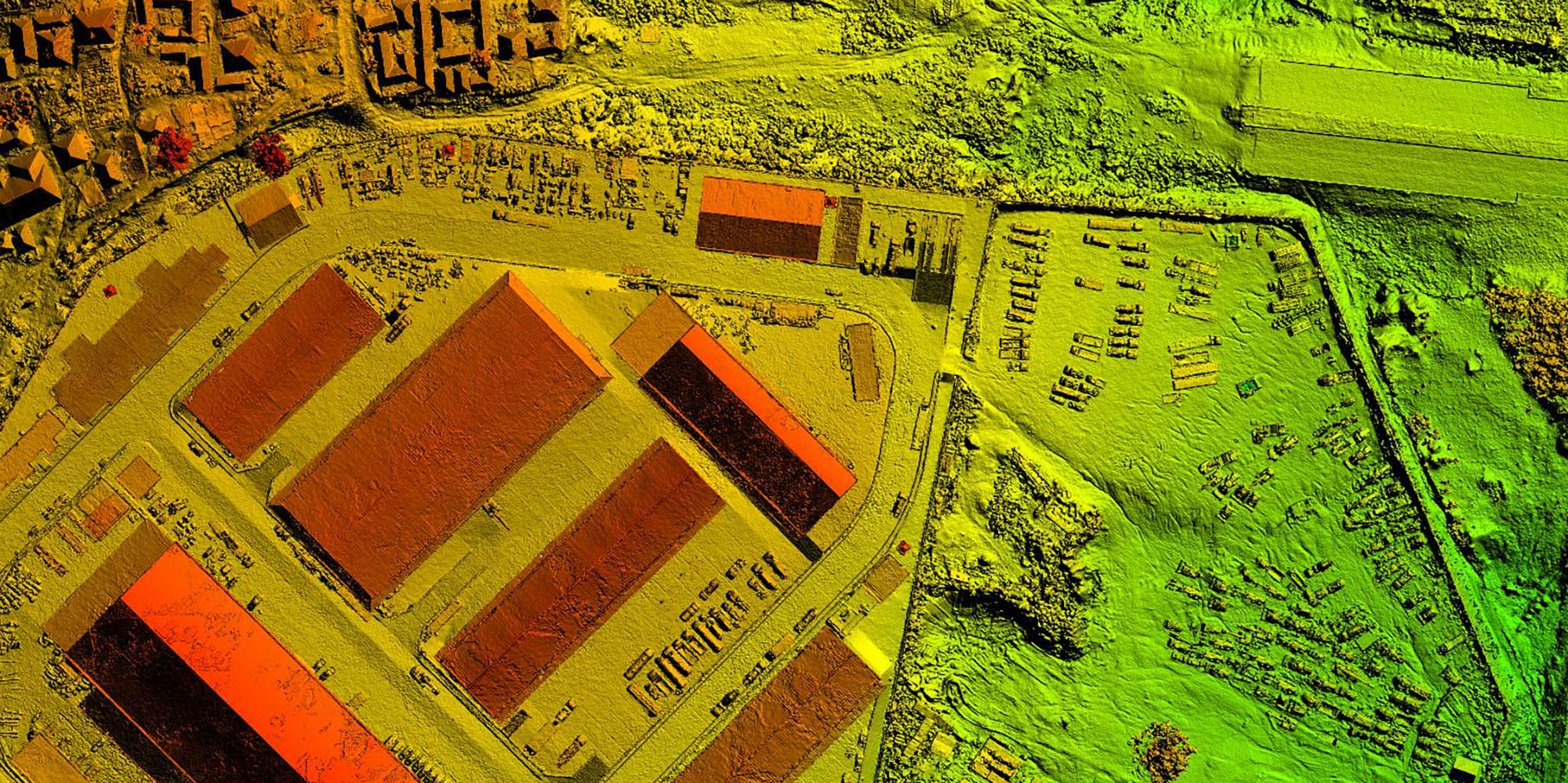
Drones coupled with big data and photogrammetry software provides a more cost-effective and accurate method of determining the volume of materials.
Aerial surveying uses drones to capture geo-tagged imagery of your entire site. These high-resolution images are uploaded into photogrammetry software to generate a high-resolution orthomosaic map, point cloud and 3D model. This provides greater site visibility and substantially more data points than traditional ground-based GPS surveys.
Aerial surveying covers larger areas than a typical ground-based survey crew in the same amount of time, reducing costs almost in half. Drones also allow for the capture of high-resolution visual information, 2D and 3D models which can be annotated and shared.